Please note closure along the route between Oughterard & Maam Cross and at the foot bridge at Killary Harbour. More details at Western Way Website.
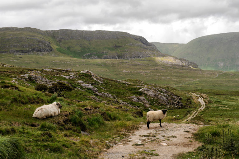
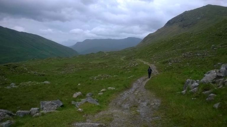
The Western Way Walkin Trail is a long-distance walking trail taking in spectacular scenery in the counties of Galway and Mayo in the west of Ireland. The Connemara section of the trail is 53km long and takes 2/3 days to complete.
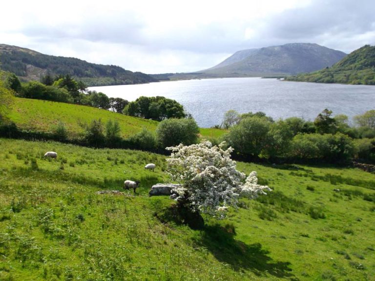
The trail begins in Oughterard and follows the Lough Corrib shoreline for some ten kilometres north west toward Maum. A few kilometres beyond Doon Rock the trail enters a forestry plantation and for the first time the sensation of remoteness will be experienced. The R336 brings the hiker over the pass and down toward Maum. The trail turns west 300 metres south of Maum Bridge.
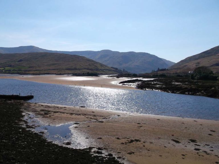
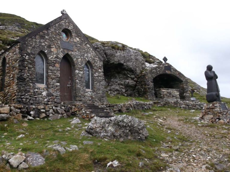
From Maum the trail follows a minor road that leads to Maumeen. At Maumeen the trail loops away to follow the western slopes of the Maumturk mountains. The Twelve Bens mountain range forms the western border of the Glen Inagh. While the trail skirts the western slopes of the Maumturk Mountains. Eventually it loops around the northern slopes of the Maumturk mountains before reaching Leenaun along an old coach road.
Check out the Western Way Walking Trail and set yourself a challenge to complete the route from Oughterard to Ballina.
Business Information
-
ADDRESS:
Oughterard Car Park, Clifden Road, Fough West, County Galway, Ireland - http://thewesternway.ie/

